Strapdown navigation systems are a vital component of modern navigation technology, providing accurate, real-time positioning and orientation for a variety of applications, from aerospace and defense to automotive and robotics. These systems are built on solid mathematical principles and have a broad range of practical applications. In this article, we will explore the theory behind strapdown navigation systems, the key components that make up these systems, and their numerous applications.
What is a Strapdown Navigation System?
A Strapdown Navigation System (SNS) is a type of inertial navigation system (INS) in which the sensors are mounted directly onto the vehicle or object whose motion is being tracked, rather than being isolated in a gimbaled frame. This means that the sensors, typically accelerometers and gyroscopes, are “strapped down” to the moving body. The system uses these sensors to continuously measure acceleration and angular velocity, allowing it to compute the position, velocity, and orientation of the vehicle in real-time.
In a strapdown configuration, the accelerometers measure linear accelerations, while the gyroscopes measure the rates of rotational motion. The data from these sensors are then processed through sophisticated algorithms to provide navigation information such as heading, pitch, roll, and position. Strapdown systems are often contrasted with gimbaled systems, where the sensors are mounted on gimbals that allow them to remain level with respect to the Earth’s surface, irrespective of the vehicle’s motion.
The Theory Behind Strapdown Navigation Systems
The fundamental operation of strapdown navigation systems is based on inertial measurement units (IMUs), which typically include accelerometers and gyroscopes. The theory behind the strapdown system can be broken down into the following key components:
1. Inertial Measurement Units (IMUs)
An IMU is a crucial component of strapdown navigation systems. It typically consists of three accelerometers and three gyroscopes, arranged orthogonally to measure the three components of linear acceleration and angular velocity in three-dimensional space. The accelerometers measure the accelerations in the direction of the X, Y, and Z axes, while the gyroscopes measure the rotational velocities along these axes.
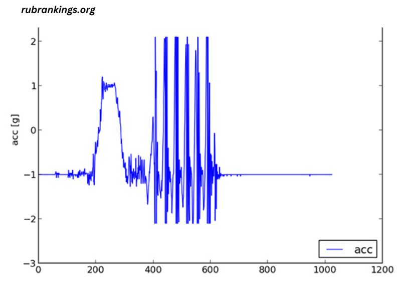
The accelerometers give information about the movement of the object, while the gyroscopes provide data on the rotation of the object. The output from the IMU is used to compute the change in velocity and orientation, which is integral for navigation purposes.
2. Coordinate Systems and Transformation
In order to use the data from the IMU to determine the position and orientation of an object, strapdown systems rely on coordinate transformations. The vehicle or object’s motion is typically represented in a local coordinate system (body frame), while the Earth’s surface is represented in an Earth-centered coordinate system (inertial or geodetic frame).
The basic principle of strapdown navigation is to transform the measurements from the body-fixed frame (the coordinate system of the object) into the Earth-fixed frame. This transformation involves two main operations:
- Rotation Matrices: To relate the local coordinate system to the global Earth frame, the system uses rotation matrices, which are derived from the angular velocities measured by the gyroscopes.
- Integration: The accelerations measured by the accelerometers are integrated over time to compute the velocity and position.
This approach simplifies the computational process, eliminating the need for complex mechanical gimbals, making the system more compact and cost-effective.
3. Error Propagation and Drift
One of the key challenges in strapdown navigation is error accumulation over time. Since the system uses accelerometers and gyroscopes to track motion, small errors in sensor readings can accumulate, leading to drift in the position and orientation estimates. These errors are primarily due to biases, scale factor errors, and noise in the sensors.
To combat drift, various correction techniques are used, such as:
- Sensor Calibration: Regular calibration of the accelerometers and gyroscopes helps reduce errors and improve the accuracy of the system.
- Error Correction Algorithms: Algorithms such as Kalman filtering and complementary filtering can be employed to estimate and correct for errors based on external information (e.g., GPS data).
- Fusion with External Sensors: Strapdown systems are often combined with other navigation systems like GPS, magnetometers, and altimeters to help mitigate the effects of drift and improve overall accuracy.
Applications of Strapdown Navigation Systems
Strapdown navigation systems have widespread applications across various industries. Their ability to provide accurate real-time navigation data without relying on external signals makes them ideal for environments where GPS or other satellite-based systems are not available or reliable. Below are some of the key applications of strapdown navigation systems:
1. Aerospace and Aviation
In aerospace, strapdown navigation systems are used in aircraft, spacecraft, and drones. They are essential for providing real-time attitude and position information during flight, especially when GPS signals are weak or unavailable, such as during high-speed maneuvers or in environments with poor satellite visibility.
Strapdown systems are used in inertial navigation systems (INS) for autopilot and navigation systems in aircraft, and in spacecraft, they help in accurate positioning and orientation control. Additionally, unmanned aerial vehicles (UAVs) rely on strapdown systems for autonomous flight, navigation, and obstacle avoidance.
2. Military and Defense
Strapdown navigation systems are heavily utilized in military applications, particularly for navigation in submarines, missiles, and military vehicles. In submarines, where GPS signals do not penetrate, strapdown INS systems are critical for underwater navigation. Similarly, in missile guidance systems, strapdown navigation helps ensure accurate targeting by providing real-time position and orientation information, even during high-speed flights.
In military vehicles, these systems are used for navigation in complex terrains, including urban warfare and remote areas where GPS signals may be jammed or unavailable.
3. Automotive and Autonomous Vehicles
In the automotive industry, strapdown navigation systems are increasingly being integrated into autonomous vehicles (AVs) to provide accurate navigation and localization data. These systems enable AVs to track their position and orientation in real-time, even in the absence of GPS signals, by using sensor fusion techniques with LiDAR, radar, and cameras.
Strapdown navigation is also used in advanced driver assistance systems (ADAS), such as lane-keeping assist, adaptive cruise control, and collision avoidance systems, ensuring that the vehicle maintains its correct position and orientation relative to the road.
4. Robotics and Drones
Robotics and drone technology heavily rely on strapdown navigation systems for tasks that require precise positioning and orientation. For example, in drones, strapdown navigation systems help control flight paths, stabilize the drone, and avoid obstacles. The systems enable drones to navigate autonomously in GPS-denied environments, such as indoor spaces or underground areas.
In robotics, strapdown navigation is used in autonomous mobile robots (AMRs) and industrial robots for path planning, obstacle avoidance, and precise control of movement.
5. Surveying and Mapping
Strapdown navigation systems are used in land surveying, geophysical surveying, and cartography. When combined with other technologies like LiDAR, these systems enable accurate 3D mapping of the terrain. They are particularly useful in applications where conventional GPS surveying methods are inefficient or unreliable.
For example, strapdown systems are used in geophysical surveys to map underground features, and in aerial surveying, drones equipped with strapdown INS can create highly detailed terrain models.
6. Marine Navigation
In the marine industry, strapdown navigation systems are used in ships, submarines, and other maritime vessels for accurate navigation. These systems help ships navigate through fog, storms, or areas where GPS signals may be blocked by tall structures. In submarines, strapdown systems are used for deep-sea navigation where traditional navigation methods are not feasible.
Advantages of Strapdown Navigation Systems
Strapdown navigation systems offer several advantages over traditional gimbaled systems, making them popular in a variety of applications:
- Compact and Lightweight: Strapdown systems are more compact and lighter, which is ideal for use in small devices like drones and portable vehicles.
- No Mechanical Parts: Since strapdown systems do not rely on gimbals or mechanical components, they are less prone to wear and tear, making them more reliable and durable.
- Cost-Effective: Without the need for complex gimbal mechanisms, strapdown systems tend to be more affordable than their gimbaled counterparts.
- Real-Time Performance: Strapdown systems provide real-time performance, making them ideal for applications requiring immediate navigation data, such as in aerospace, automotive, and robotics.
Challenges and Future Trends
While strapdown navigation systems have numerous advantages, they do face some challenges. The primary issue is error accumulation, which leads to drift over time. However, ongoing advancements in sensor technology, sensor fusion algorithms, and error correction techniques continue to improve the accuracy and reliability of these systems.
In the future, strapdown navigation systems are expected to play an increasingly important role in the development of autonomous vehicles, drones, and other advanced technologies. With the rise of artificial intelligence and machine learning, these systems will become even more efficient, adapting to new environments and improving their performance in challenging conditions.
Conclusion
Strapdown navigation systems represent a powerful and versatile tool for accurate, real-time navigation across a variety of industries. By using inertial measurement units and advanced algorithms, these systems provide critical data for aerospace, defense, automotive, robotics, and more. While there are challenges related to error accumulation and drift, advancements in sensor technology and data fusion techniques are making strapdown systems increasingly accurate and reliable. As technology continues to evolve, strapdown navigation systems will remain at the forefront of innovation, enabling precise navigation in environments where traditional methods may fail.


